
1,778 m · The observatory
The sculpture, taken apart.
The five layers, one at a time.
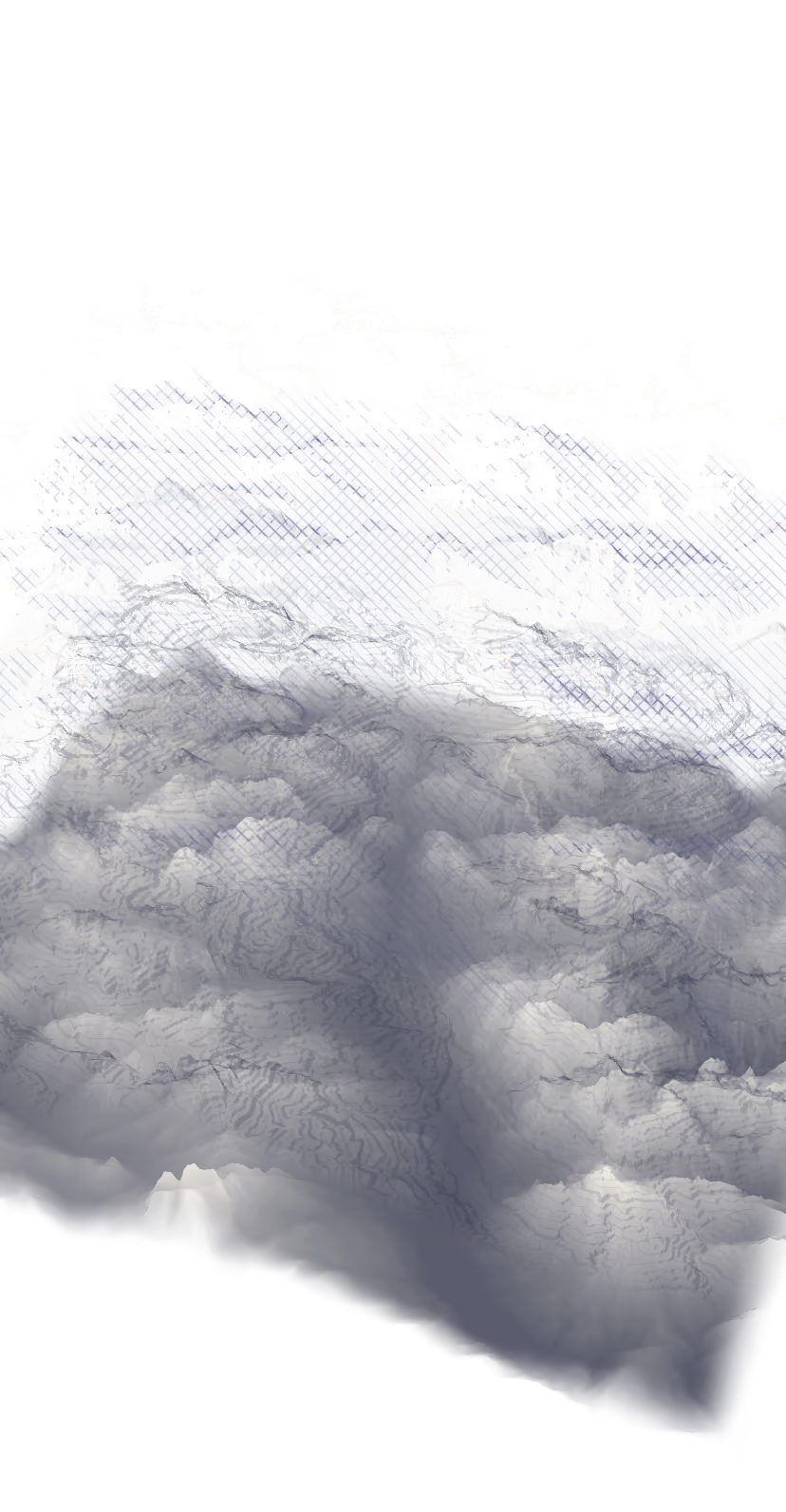
Altitudes.
1,048,576 height measurements, one every 28 metres. They come from TINITALY, the INGV's ten-metre model.
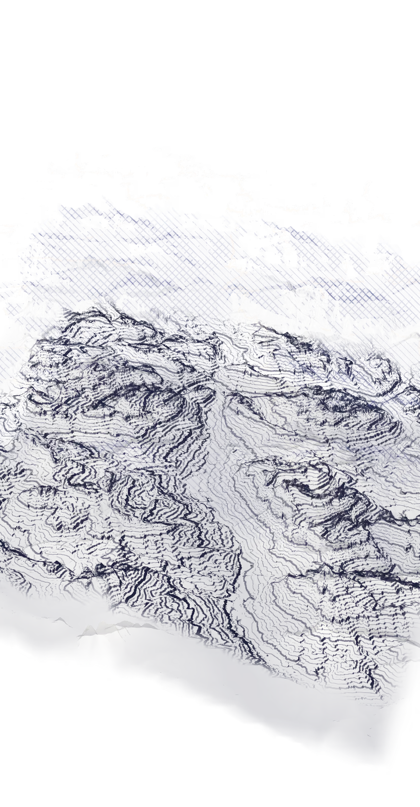
Contours.
One every fifty metres. A hairline where the slope faces the sun, heavy where it turns its back: the method of a Japanese cartographer, Kitirō Tanaka, 1950.
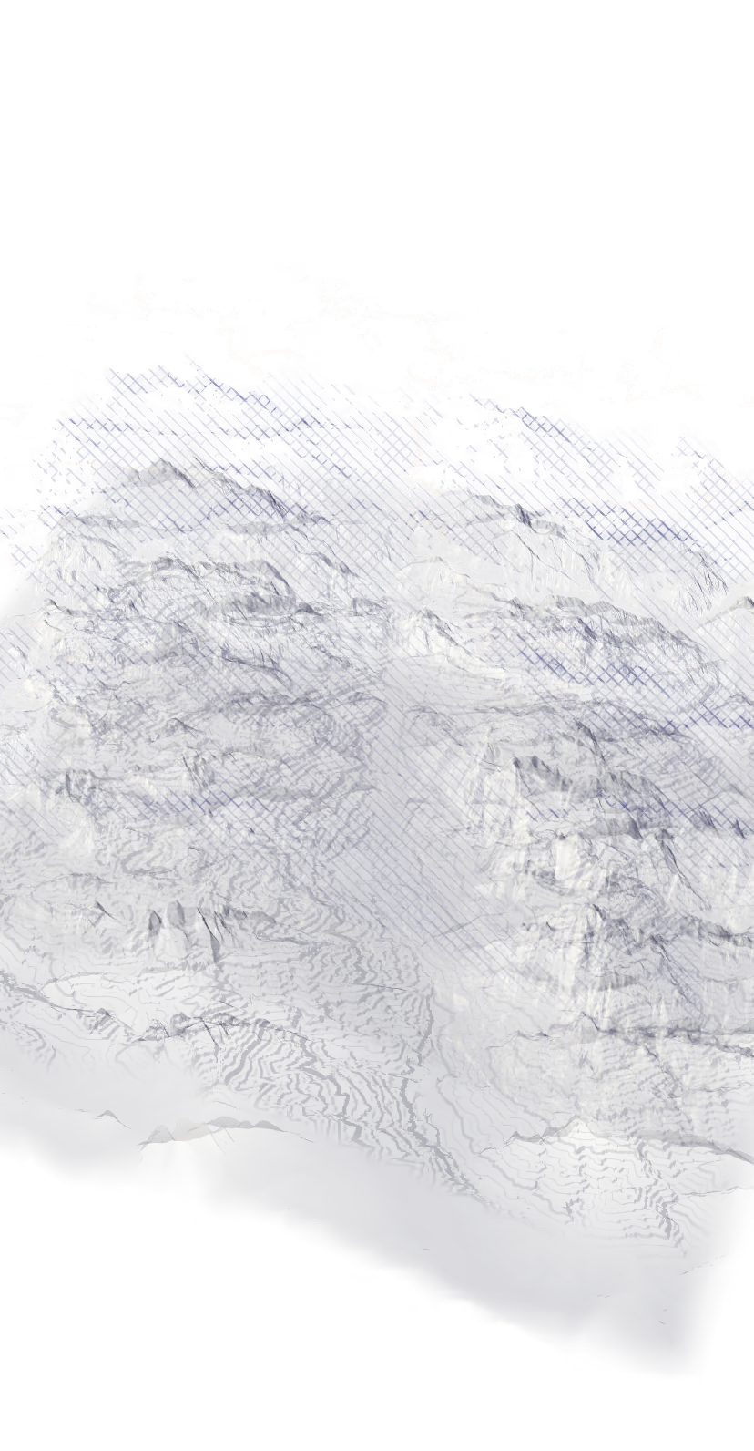
Light.
Where the sun is this minute in Cortina. No outside service: it's arithmetic.
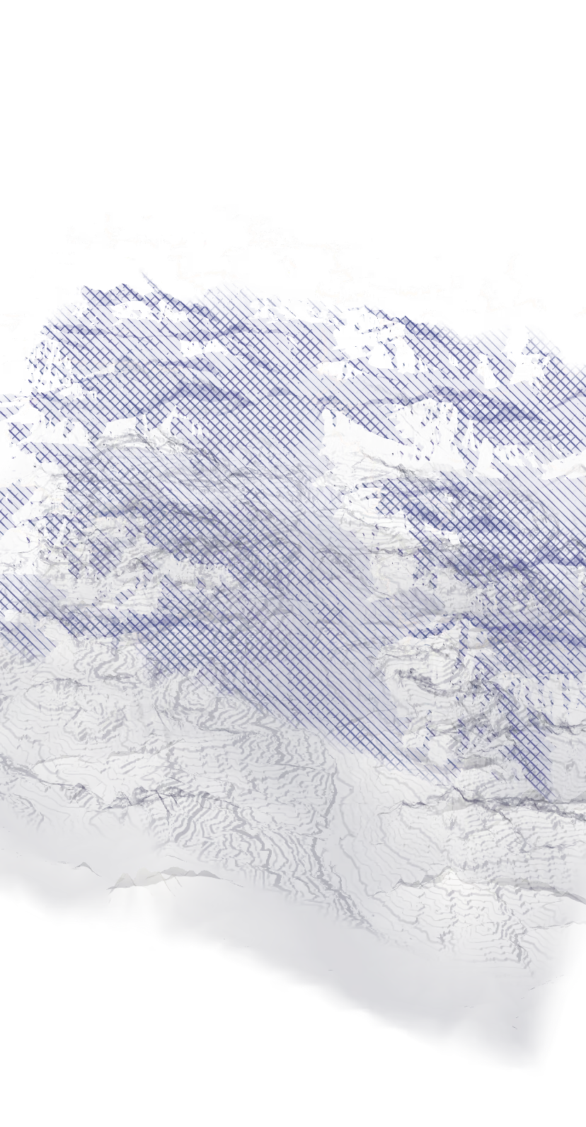
Shadows.
From every point, a ray towards the sun: if a mountain stops it, there's shadow. We draw them like a burin engraving.
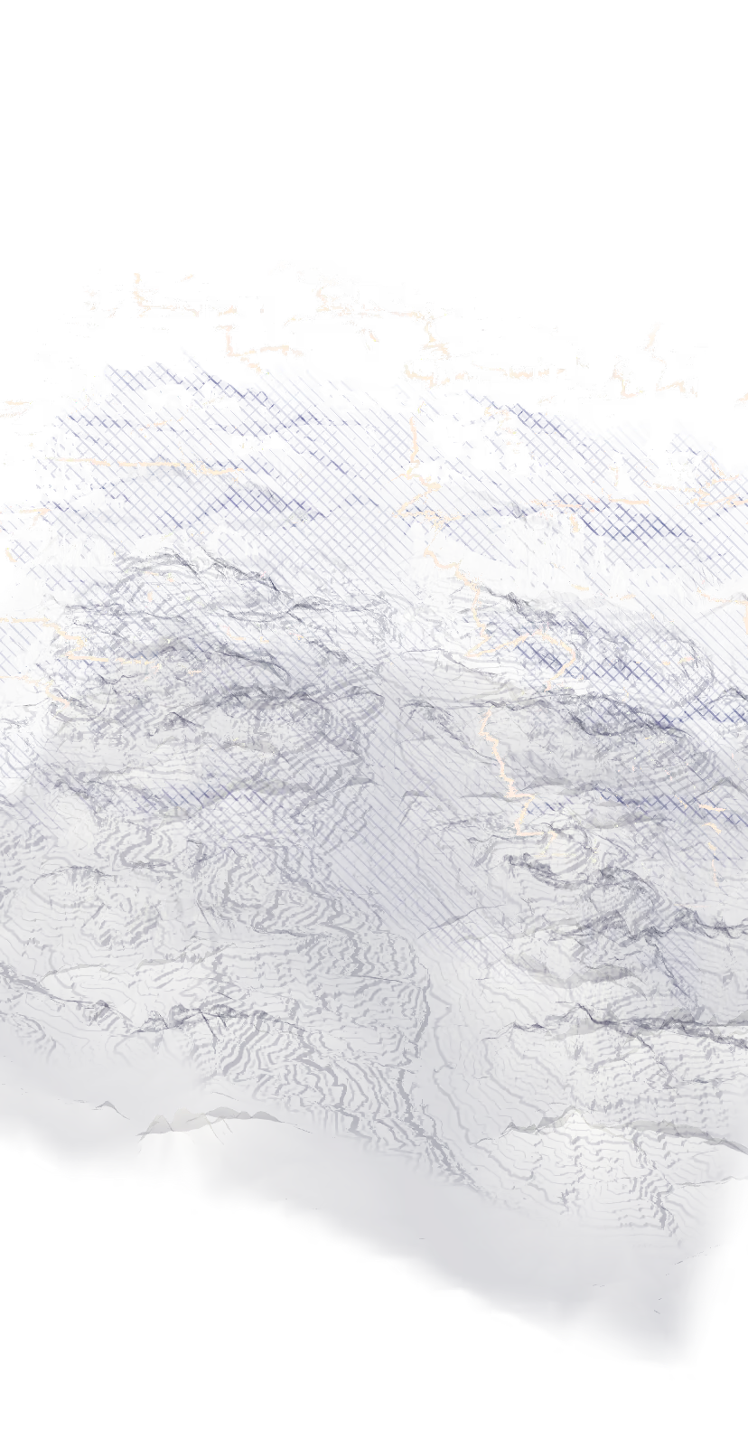
The shadow line.
The border between sun and shade. It's the only thing in colour, and only when the sun is low.


How far off we are.
The model's peaks sit up to 28 metres below the real ones. The sun on a house: ten minutes. The last light on the peaks: a few minutes, because the air on the horizon is never the same.
The names.
Roofs, streets and villages come from OpenStreetMap. The heights of the peaks, from official sources. “Houses” are buildings over 40 square metres: 2,523, hotels and haylofts included.
1,224 metres.
It's the altitude everyone knows. Other sources give 1,210: it depends where you measure. Our terrain model, under the bell tower, says 1,211 m.
Artificial intelligence.
It made the few material images: rock, larch, snow, a stua. None shows a place or a house. The terrain, the sun and the shadows are real.
The sound.
It's synthesised: a stream, the wind, a bell striking the hour. No recordings.
On your phone.
Your house's point stays there. No cookies until you accept visit measurement (Google Analytics); without your yes, no third-party calls.
The tools.
Next.js, OGL, two shader passes, six scripts that bake the terrain, the roofs and the sun for the whole year.
The data, with licences
Terrain
TINITALY/1.1, INGV, 10 m cells (CC BY 4.0), served in tiles by Mapterhorn. Across the border: Copernicus GLO-30. doi.org/10.13127/tinitaly/1.1
Roofs, streets, names
© OpenStreetMap contributors (ODbL). www.openstreetmap.org/copyright
Sun and moon
Astronomical calculation (J. Meeus, Astronomical Algorithms), checked against JPL Horizons and the U.S. Naval Observatory. ssd.jpl.nasa.gov/horizons/
Trieste–Cortina route
OSRM on OpenStreetMap data, calculated once and baked into the site. project-osrm.org/
Typefaces
Zodiak (Indian Type Foundry, ITF Free Font License) and Xanh Mono (Yellow Type Foundry, SIL OFL). www.fontshare.com/fonts/zodiak
If this is how we measure a valley, imagine a house.